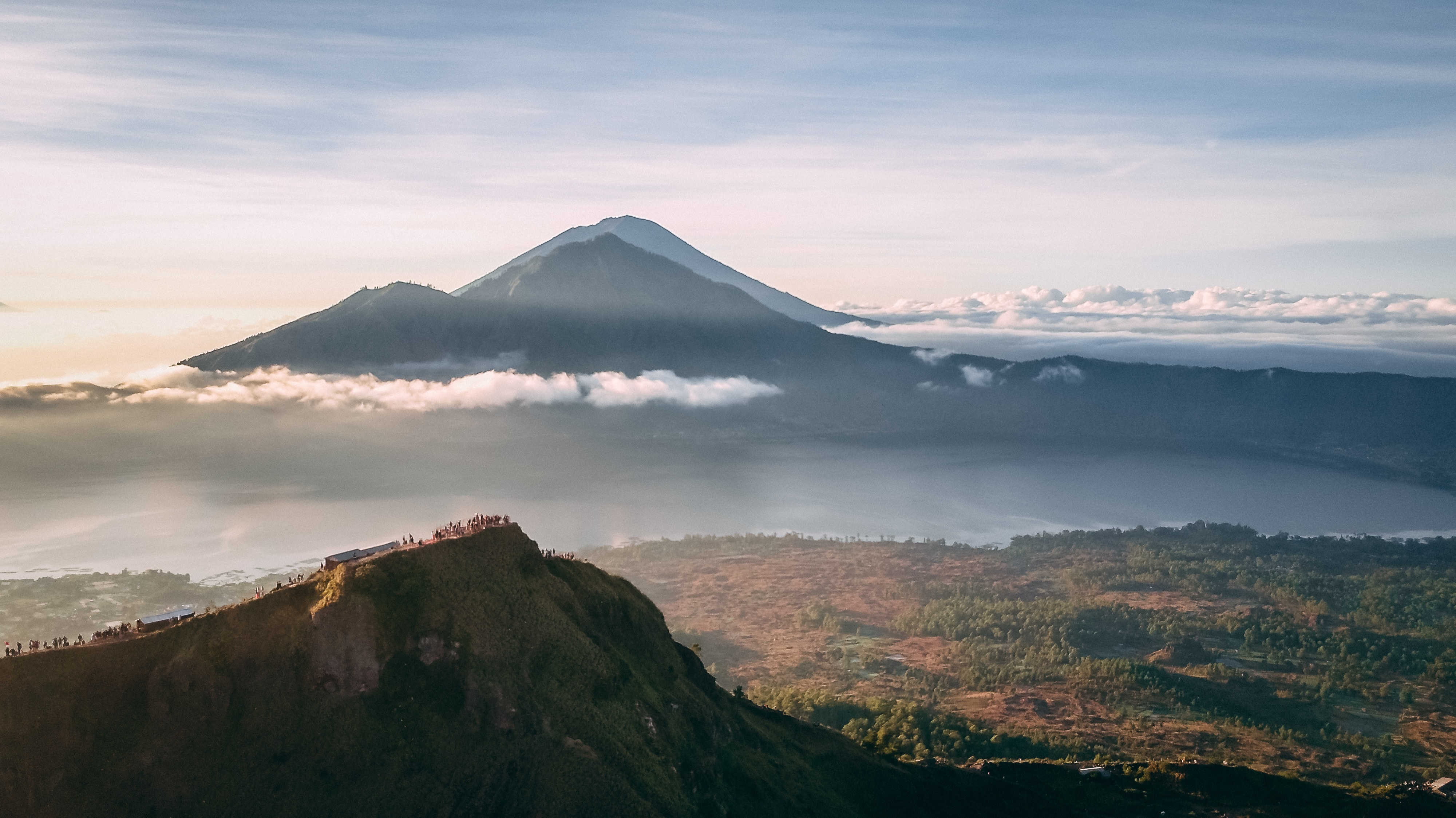
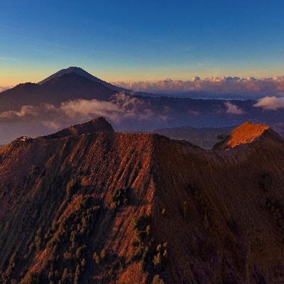
Mount Batur sits in the north-east of Bali and is one of the island’s active volcanoes. In fact, Batur is Bali’s most active, having erupted at least twenty times in the last two centuries. The lava flow from the 1968 eruption can still be clearly seen across the slopes, ending in black field of volcanic rock and ash.
The collapsed top of the crater – called a caldera – contains a lake surrounded by several villages. The local communities around Batur are predominantly farmers, but are increasingly turning to tourism for income. A large environmental problem in this area is the sustainability of the lake water. Heavy sedimentation around the caldera is leading to a decrease in lake water from the bottom, while water pollution from fishing and and agriculture has begun to cover the surface of the lake with an overpopulation of water hyacinths. If conditions continue to worsen, it is thought that the lake could disappear entirely.
The trek to the crater of Mount Batur is relatively easy, but it is compulsory to be accompanied by a local guide.